

387th BOMBARDMENT GROUP (MEDIUM)
(back to main Station 452 page)
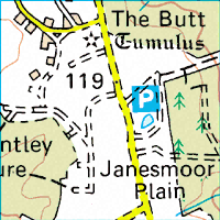
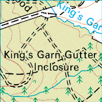
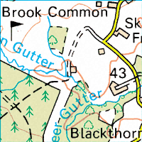
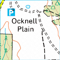
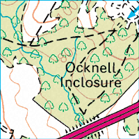
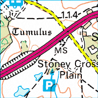
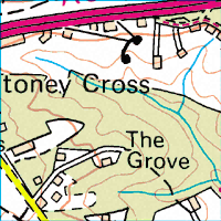
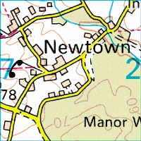
Topographic Map
Stoney Cross
Hampshire, England
1 km grid
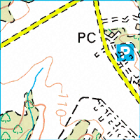
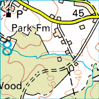
Topographic Map
Stoney Cross
Hampshire, England
1 km grid
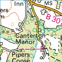
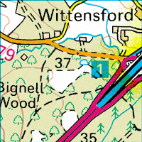
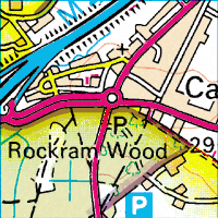
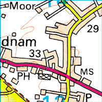
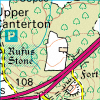
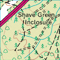
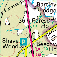
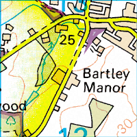
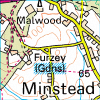
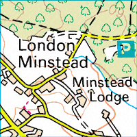
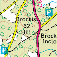
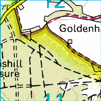
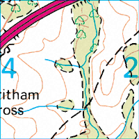
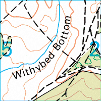
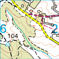
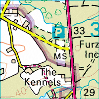
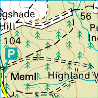
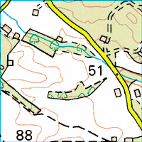
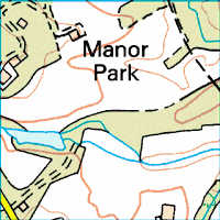
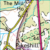
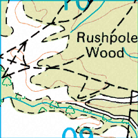
This is a topographic map of a section of the New Forest including Stoney Cross. The airfield was located at grid C3. The town of Cadnam is at grid A7.
|
|
|
|
|
|
|
|
|
|
| A | 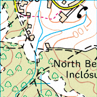 |
 |
 |
 |
 |
 |
 |
 |
| B | 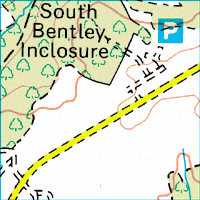 |
 |
 |
 |
 |
 |
 |
 |
|
C |
 |
 |
 |
 |
 |
 |
 |
 |
| D | 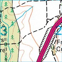 |
 |
 |
 |
 |
 |
 |
 |
| E | 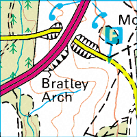 |
 |
 |
 |
 |
 |
 |
 |